Montana's Missouri River Country


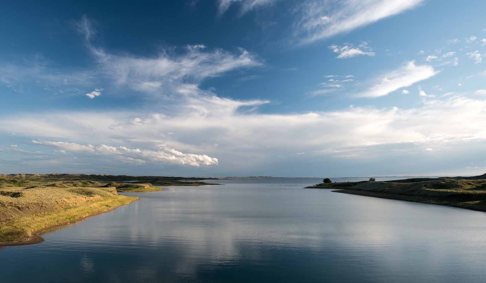
Fort Peck Reservoir is located on the Missouri River, 18 miles southeast of Glasgow. The lake is 134 miles long at normal operating level, with 1,520 miles of shoreline. You can reach Fort Peck Reservoir from the west by turning off of US Highway 191 northwest of Lewistown at the Fred Robinson Bridge. From the south, the reservoir can be reached from Montana Highway 200 at Jordan and then north via the county road. The eastern edge of the reservoir is accessible from Montana Highway 24, which parallels the entire length of the Big Dry Arm and passes through the town of Fort Peck and over the dam. The north side of the reservoir is the least accessible from main roads. US Highway 2 between Glasgow and Malta is the closest paved road. There are numerous county roads that take off south from Highway 2 and wind their way toward the reservoir.Fort Peck Reservoir is located on the Missouri River, 18 miles southeast of Glasgow. The lake is 134 miles long at normal operating level, with 1,520 miles of shoreline. You can reach Fort Peck Reservoir from the west by turning off of US Highway 191 northwest of Lewistown at the Fred Robinson Bridge. From the south, the reservoir can be reached from Montana Highway 200 at Jordan and then north via the county road. The eastern edge of the reservoir is accessible from Montana Highway 24, whic
Fort Peck